geoxene.com

Welcome to GeoXene | Earth Intelligence Company

Dehradun, Uttrakhand
Mon - Sat 10.00 - 18.00

Appointment

01

Analysis of the client's objectives & needs

Our approach to project management is grounded in practical experience and prioritises open communication.
02

Engineering project study & solution design

Together, we identify the industrial data automation project's general scope and the components needed to produce.
03

Solution execution phase and installation done

We collaborate closely on with you and examine the strategy and install and integrate the mechanical.

Make an appointment

The point of using Lorem Ipsum is that it has more-or-less normal

    Engineer

    The Best industry experts

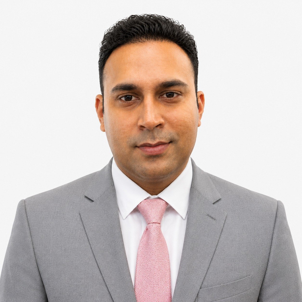
    Saurabh Mishra

    Hydrology, Groundwater Monitoring & Environmental Instrumentation Expert

    Saurabh Mishra

    Hydrology, Groundwater Monitoring & Environmental Instrumentation Expert
    <img src="https://geoxene.com/wp-content/uploads/2026/09/SAURABH-MISHRA.jpeg" sizes="(max-width: 1254px) 100vw, 1254px" srcset="https://geoxene.com/wp-content/uploads/2026/09/SAURABH-MISHRA.jpeg 1254w, https://geoxene.com/wp-content/uploads/2026/09/SAURABH-MISHRA-300x300.jpeg 300w, https://geoxene.com/wp-content/uploads/2026/09/SAURABH-MISHRA-1024x1024.jpeg 1024w, https://geoxene.com/wp-content/uploads/2026/09/SAURABH-MISHRA-150x150.jpeg 150w, https://geoxene.com/wp-content/uploads/2026/09/SAURABH-MISHRA-768x768.jpeg 768w, https://geoxene.com/wp-content/uploads/2026/09/SAURABH-MISHRA-500x500.jpeg 500w, https://geoxene.com/wp-content/uploads/2026/09/SAURABH-MISHRA-600x600.jpeg 600w, https://geoxene.com/wp-content/uploads/2026/09/SAURABH-MISHRA-100x100.jpeg 100w" alt="" width="1254" height="1254" /> <form action="/wp-admin/admin-ajax.php#wpcf7-f4295-o1" method="post" novalidate="novalidate" aria-label="Contact form" data-status="init"> <fieldset><input name="_wpcf7" type="hidden" value="4295" /><input name="_wpcf7_version" type="hidden" value="6.1.7" /><input name="_wpcf7_locale" type="hidden" value="en_US" /><input name="_wpcf7_unit_tag" type="hidden" value="wpcf7-f4295-o1" /><input name="_wpcf7_container_post" type="hidden" value="0" /><input name="_wpcf7_posted_data_hash" type="hidden" value="" /></fieldset> <input maxlength="400" name="full-name" size="40" type="text" value="" placeholder="Full Name" aria-required="true" aria-invalid="false" /><input maxlength="400" name="your-email" size="40" type="email" value="" placeholder="Email Address" aria-required="true" aria-invalid="false" /><input id="FullName" maxlength="400" name="your-inquiry" size="40" type="text" value="" placeholder="Your Inquiry" aria-required="true" aria-invalid="false" /><textarea cols="40" maxlength="2000" name="your-message" rows="10" placeholder="Write Here..." aria-invalid="false"></textarea> <input type="submit" value="Send Message" /> </form>Hello i'm <h2>Saurabh Mishra</h2> Founder & Senior Geologist at Geoxene <ul> <li> <h3>Department</h3> Geology</li> <li> <h3>Experience</h3> 7 Years</li> </ul> <ul> <li></li> <li></li> <li></li> <li></li> </ul> <h3>Biography</h3> Gaurav Rawat holds an M.Sc. in Geology from HNB Garhwal University. His technical exposure encompasses engineering-geological appraisal, geological and structural mapping, applied geomorphological assessment, stratigraphic studies and geological field investigations. His fieldwork includes the Lesser Himalayan terrain around Srinagar Valley, dam-site Engineering Geology, the Srinagar–Rishikesh sector, the Shivalik belt of Himachal Pradesh and the Aravalli region of south-eastern Rajasthan. He has undertaken an M.Sc. dissertation on cloudbursts in the Himalayan Region and has practical exposure to engineering geological assessment, 3-D logging and geological documentation. His capabilities are relevant to geological reconnaissance, engineering-geological mapping, terrain appraisal and geohazard-oriented field investigations. He is a Partner of GeoXene Earth Intelligence LLP. Engineering Geology Geomorphology Geological Mapping

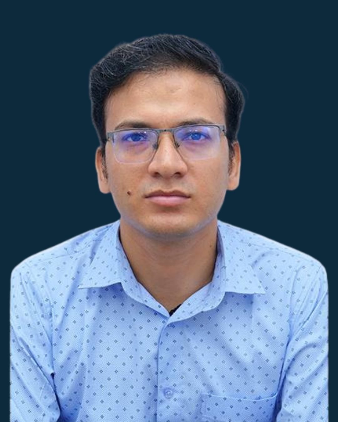
    Dr. Rohit Agarwal

    GIS & Remote Sensing Expert

    Dr. Rohit Agarwal

    GIS & Remote Sensing Expert

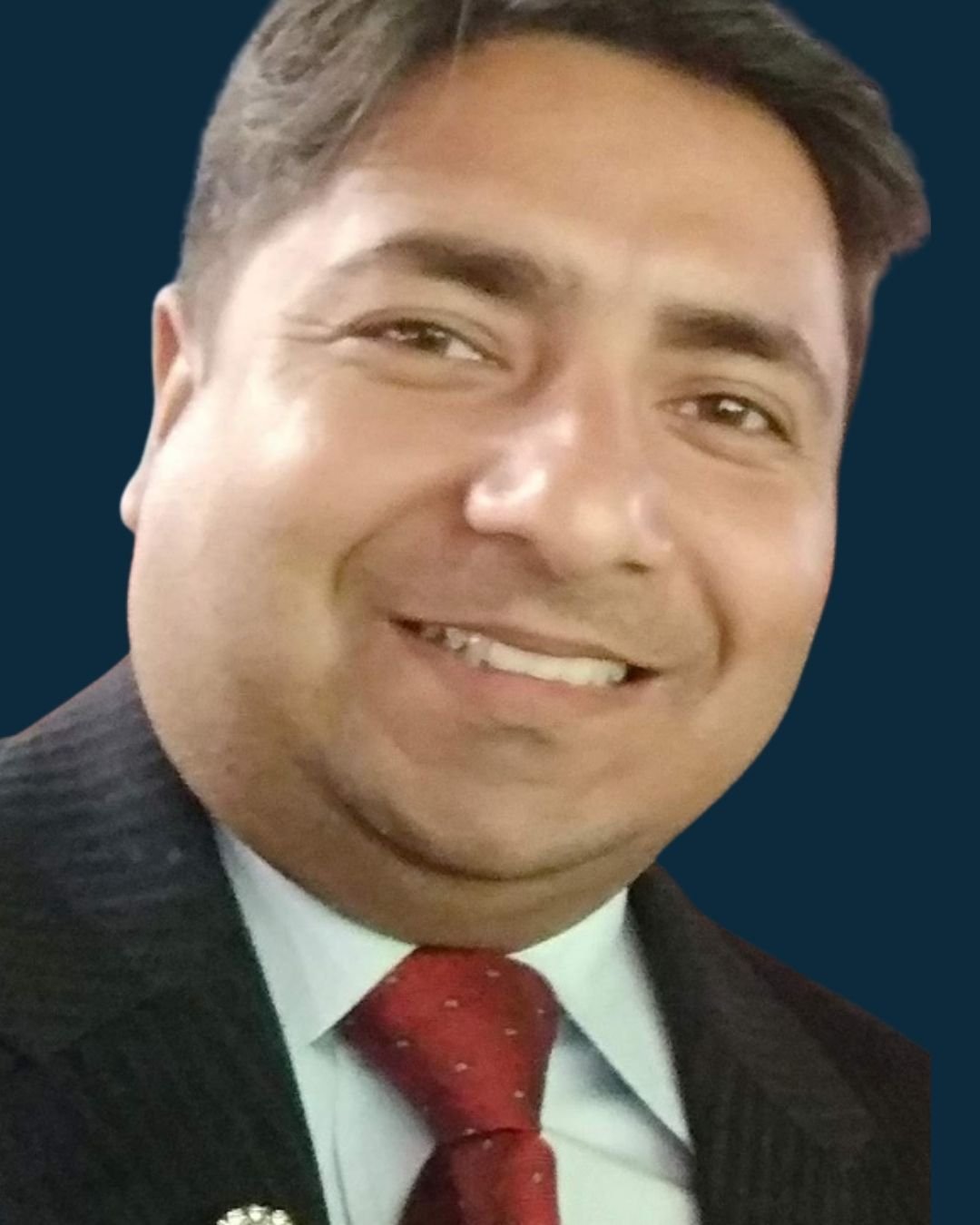
    Gaurav Rawat

    Founder & Senior Geologist at Geoxene

    Gaurav Rawat

    Founder & Senior Geologist at Geoxene
    <img src="https://geoxene.com/wp-content/uploads/2024/03/Untitled-design-2026-08-29T225428.937.jpg" sizes="(max-width: 1080px) 100vw, 1080px" srcset="https://geoxene.com/wp-content/uploads/2024/03/Untitled-design-2026-08-29T225428.937.jpg 1080w, https://geoxene.com/wp-content/uploads/2024/03/Untitled-design-2026-08-29T225428.937-240x300.jpg 240w, https://geoxene.com/wp-content/uploads/2024/03/Untitled-design-2026-08-29T225428.937-819x1024.jpg 819w, https://geoxene.com/wp-content/uploads/2024/03/Untitled-design-2026-08-29T225428.937-768x960.jpg 768w, https://geoxene.com/wp-content/uploads/2024/03/Untitled-design-2026-08-29T225428.937-600x750.jpg 600w" alt="" width="1080" height="1350" /> <form action="/wp-admin/admin-ajax.php#wpcf7-f4295-o1" method="post" novalidate="novalidate" aria-label="Contact form" data-status="init"> <fieldset><input name="_wpcf7" type="hidden" value="4295" /><input name="_wpcf7_version" type="hidden" value="6.1.6" /><input name="_wpcf7_locale" type="hidden" value="en_US" /><input name="_wpcf7_unit_tag" type="hidden" value="wpcf7-f4295-o1" /><input name="_wpcf7_container_post" type="hidden" value="0" /><input name="_wpcf7_posted_data_hash" type="hidden" value="" /></fieldset> <input maxlength="400" name="full-name" size="40" type="text" value="" placeholder="Full Name" aria-required="true" aria-invalid="false" /><input maxlength="400" name="your-email" size="40" type="email" value="" placeholder="Email Address" aria-required="true" aria-invalid="false" /><input id="FullName" maxlength="400" name="your-inquiry" size="40" type="text" value="" placeholder="Your Inquiry" aria-required="true" aria-invalid="false" /><textarea cols="40" maxlength="2000" name="your-message" rows="10" placeholder="Write Here..." aria-invalid="false"></textarea> <input type="submit" value="Send Message" /> </form>Hello i'm <h2>Gaurav Rawat</h2> Founder & Senior Geologist at Geoxene <ul> <li> <h3>Department</h3> Geology</li> <li> <h3>Experience</h3> 7 Years</li> </ul> <ul> <li><a href="#" target="_blank" rel="noopener"> </a></li> <li><a href="#" target="_blank" rel="noopener"> </a></li> <li><a href="#" target="_blank" rel="noopener"> </a></li> <li><a href="#" target="_blank" rel="noopener"> </a></li> </ul> <h3>Biography</h3> Gaurav Rawat holds an M.Sc. in Geology from HNB Garhwal University. His technical exposure encompasses engineering-geological appraisal, geological and structural mapping, applied geomorphological assessment, stratigraphic studies and geological field investigations. His fieldwork includes the Lesser Himalayan terrain around Srinagar Valley, dam-site Engineering Geology, the Srinagar–Rishikesh sector, the Shivalik belt of Himachal Pradesh and the Aravalli region of south-eastern Rajasthan. He has undertaken an M.Sc. dissertation on cloudbursts in the Himalayan Region and has practical exposure to engineering geological assessment, 3-D logging and geological documentation. His capabilities are relevant to geological reconnaissance, engineering-geological mapping, terrain appraisal and geohazard-oriented field investigations. He is a Partner of GeoXene Earth Intelligence LLP. Engineering Geology Geomorphology Geological Mapping